The in-orbit test of Gaofen-3 02 satellite was successfully carried out, and the field SAR calibration test data was successfully obtainedPublishDate:2022-07-25
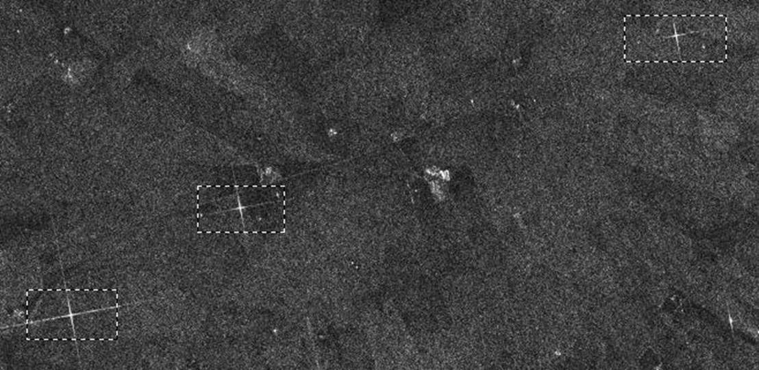
On December 31, 2021 and January 1, 2022, the Gaofen-3 02 satellite carried out imaging and shooting of the SAR calibration field in Otuoke Banner, Inner Mongolia. After preliminary analysis of ground data processing, the point target echo imaging of the calibration equipment is clear, and the in-orbit test of Gaofen-3-02 satellite successfully obtained the field SAR calibration test data.

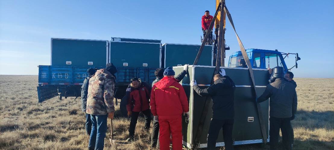
Figure 1 Layout of Gaofen-3 02 star calibration equipment

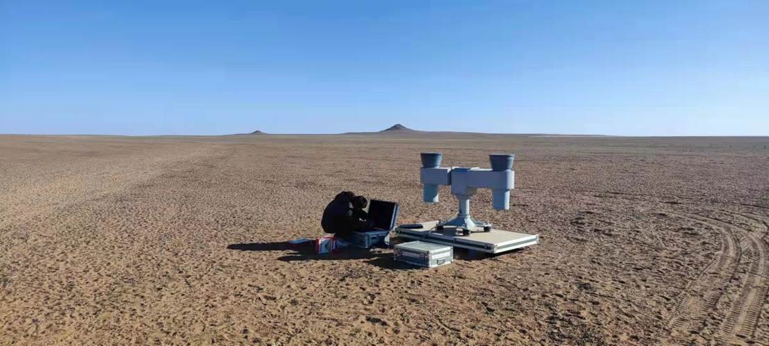
Figure 2 Calibration equipment deployment and self-inspection
The field calibration test was led by the China Resources Satellite Application Center and was responsible for data analysis, processing and calibration. The Chinese Academy of Space Technology, the Institute of Aerospace Information Innovation of the Chinese Academy of Sciences, and Inner Mongolia Guangtu Geological Surveying and Mapping Co., Ltd. The test team consists of a total of 43 people, including site selection coordination, calibration task planning, calibration equipment layout, calibration equipment parameter calculation, field measurement, and data analysis and processing.

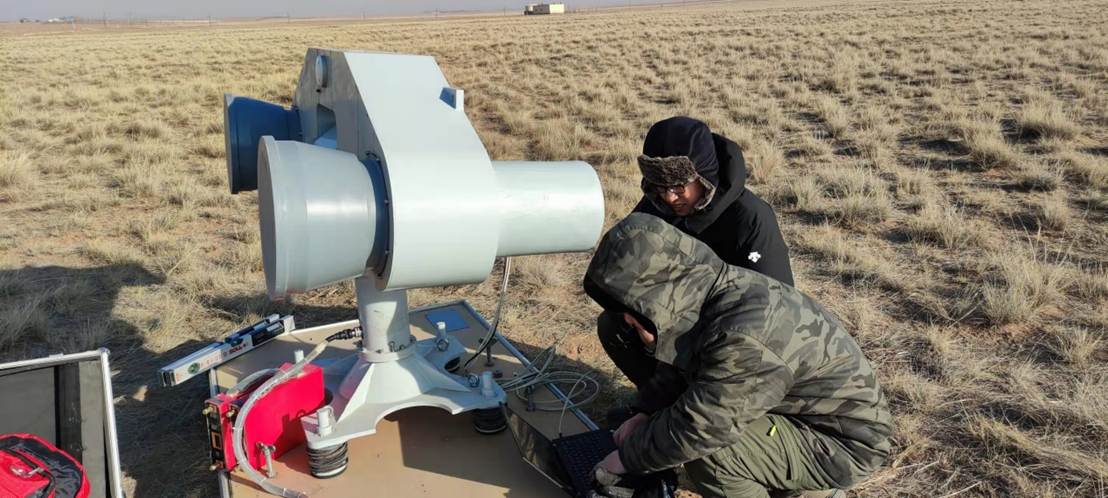
Figure 3 Setting of working parameters of calibration equipment
For the on-orbit calibration of the Gaofen-3-02 satellite, the chirp signal emitted by the satellite needs to be synchronously captured by the ground calibration equipment, and then collected and downloaded by the Gaofen-3-02 satellite receiver after receiving, delaying, amplifying and forwarding. After ground processing, a point target with a clear conformation is obtained, which is the key to testing various technical indicators such as imaging, radiation, polarization, and geometry.

Figure 4. The result of the point target echo imaging processing of the calibration equipment

Figure 5 Gaofen-3 02 star calibration test technical team
Preliminary test results show that the satellite-ground coordination test plan, such as satellite imaging mission planning and parameter calculation, orbit estimation and wave position coverage analysis, calibration equipment working parameter calculation and setting, and internal industry analysis and processing, is scientific and reasonable. The complete success of the 02 satellite field SAR calibration test has laid a solid foundation.
Appendix:


