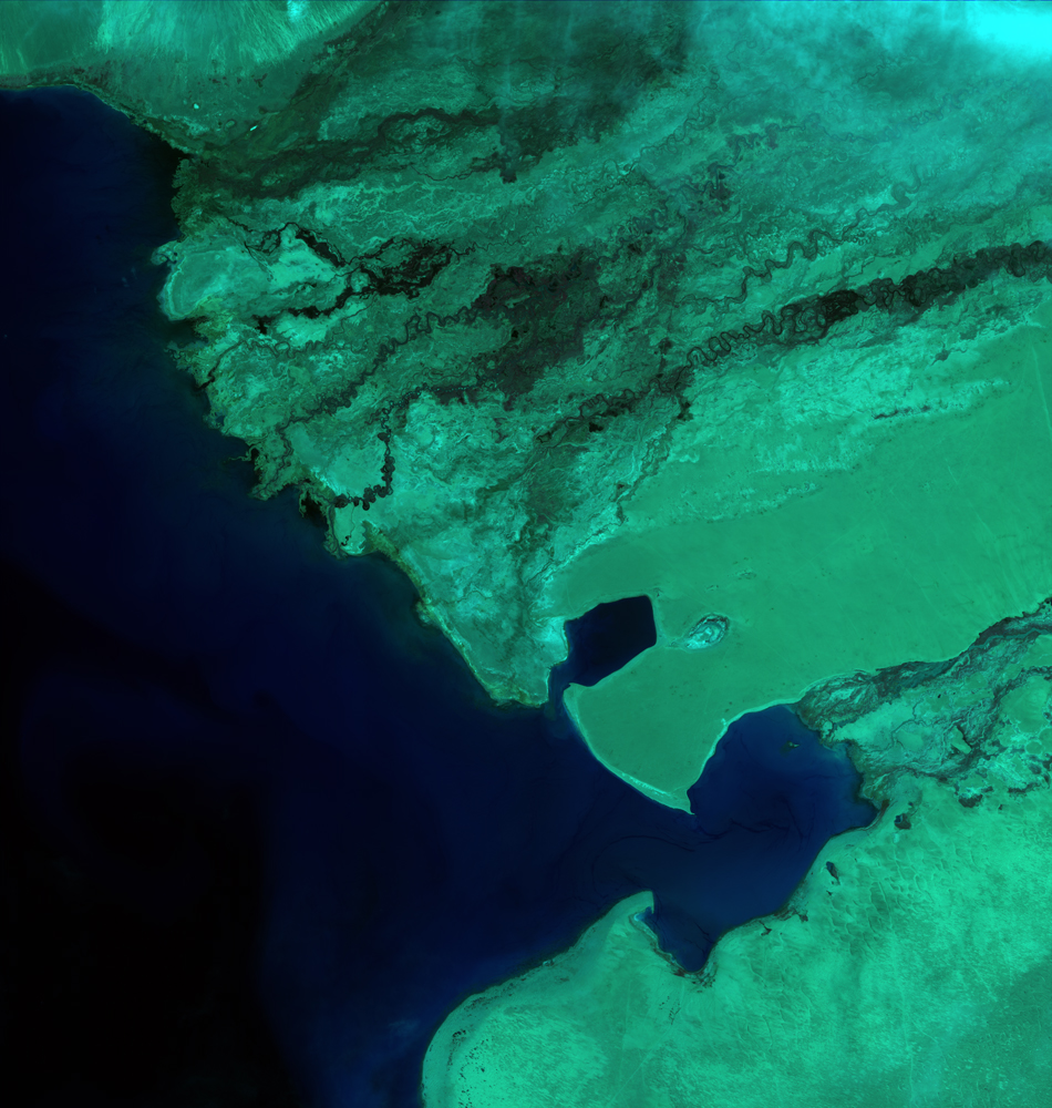
ZY-3PublishDate:2022-02-24
Launched on January 9, 2012, ZY-3 is aimed to acquire high resolution stereopsis and multispectral images with coverage of the whole nation continuously, stably and rapidly for a long time, providing services for those fields such as territorial resources investigation and monitoring, disaster prevention and reduction, agriculture, forestry and water conservation, ecological environment, urban planning and construction, transportation and key national projects.
As our country’s first civil high resolution transmission type stereomapping satellite, ZY-3 integrates surveying, mapping and resources investigation. The front, rear and top scanners equipped on ZY-3 can acquire stereopair at three different observation angles in the same region to provide rich three-dimensional geometrical information, fill in the gap of our stereomapping field and achieve a major milestone.
Parameters of ZY-3 satellite orbits

Parameters of payload of ZY-3 satellite

Appendix:


