
CBERS-04PublishDate:2022-04-27

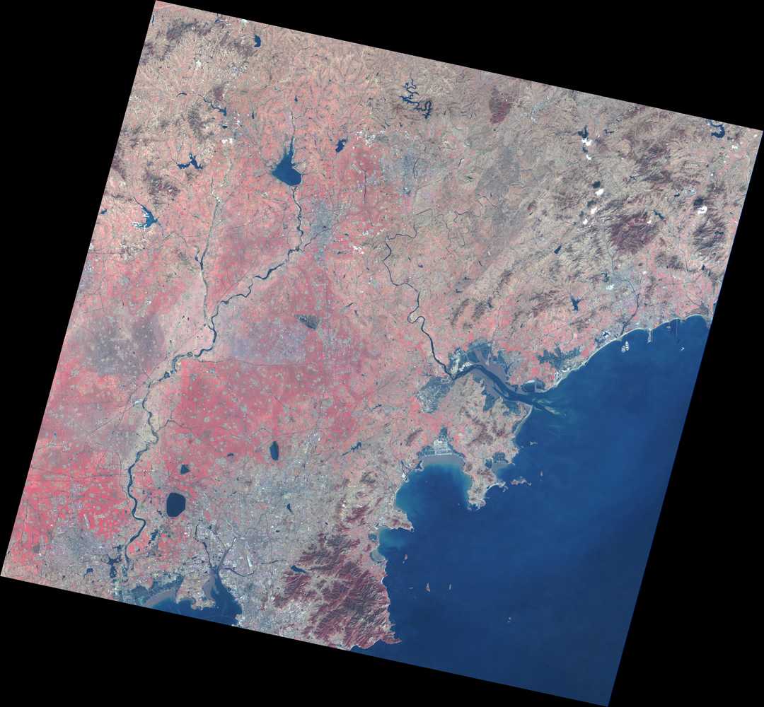

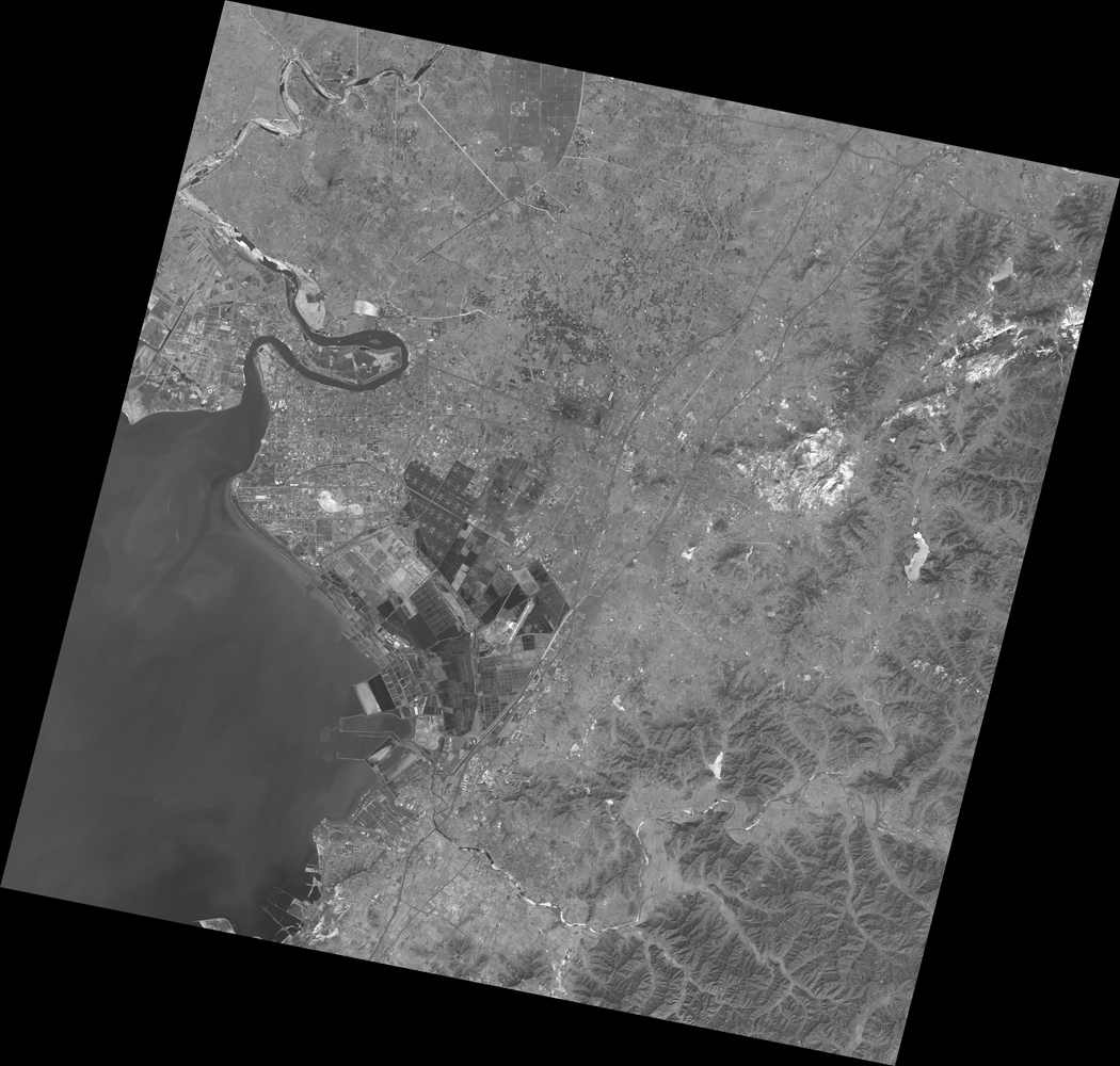
CBERS-04 was launched successfully in Taiyuan Satellite Launch Center on December 7, 2014. It is equipped with 4 scanners including 5m/10m spatial resolution panchromatic multispectral scanner (PAN) and 40m/80m spatial resolution infrared multispectral scanner (IRS) developed by China together with 20m spatial resolution multispectral scanner (MUX) and 73m spatial resolution wide field imager developed by Brazil. By virtue of diversified load allocation, CBERS-04 will play an important role in territorial resources, water conservation, forest resources investigation, crop yield estimation, urban planning, environmental protection, disaster monitoring and other fields.
Parameters of CBERS-04 satellite orbit

Parameters of payload of CBERS-02B satellite

Appendix:
